Log in
All resources
Create a design
593 Free Images of Maps Made In The 17th Century
maps by pieter schenk (i)
gerard valck
atlantis magni tomus secundus (biblioteca comunale di trento)
atlantis magni tomus quartus (biblioteca comunale di trento)
atlantis magni tomus quintus (biblioteca comunale di trento)
nicolaes visscher ii
jan janssonius
atlantis magni tomus primus (biblioteca comunale di trento)
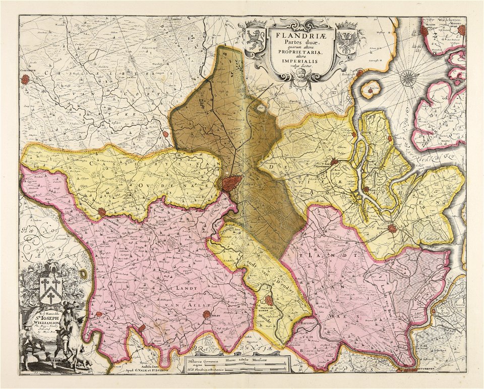
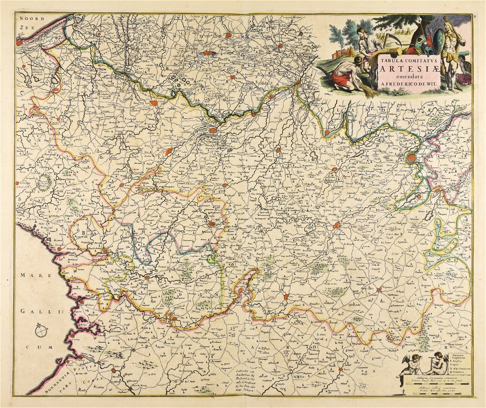
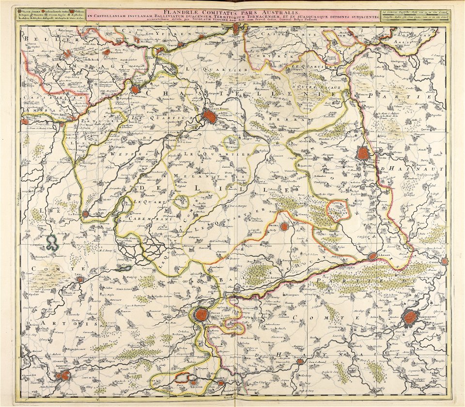
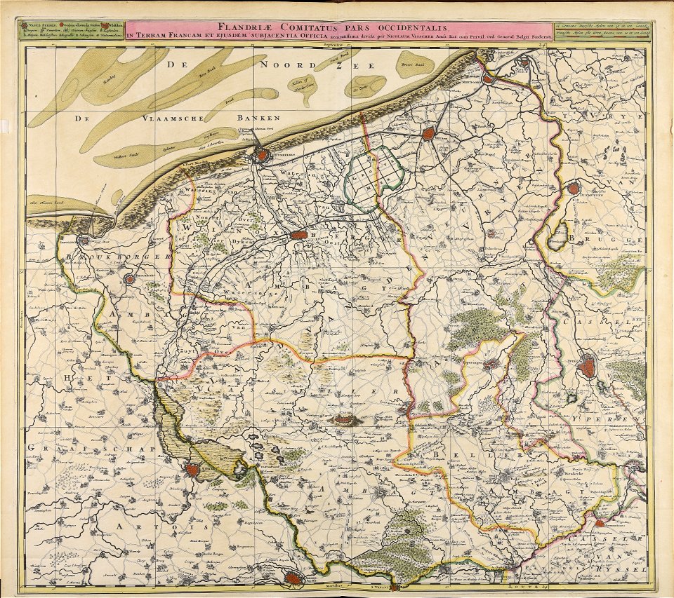
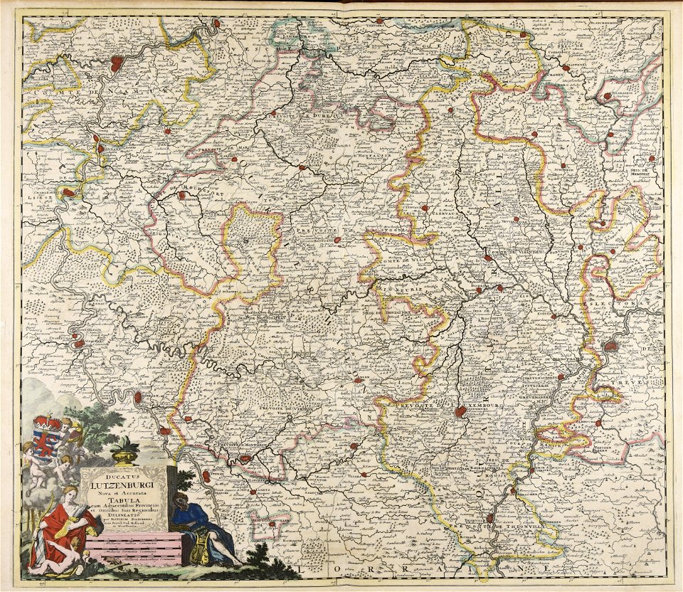
old maps of flanders
moses pitt
maps made in the 17th century
nicolaes visscher ii
atlantis magni tomus tertius (biblioteca comunale di trento)
maps made in the 17th century
maps made in the 17th century
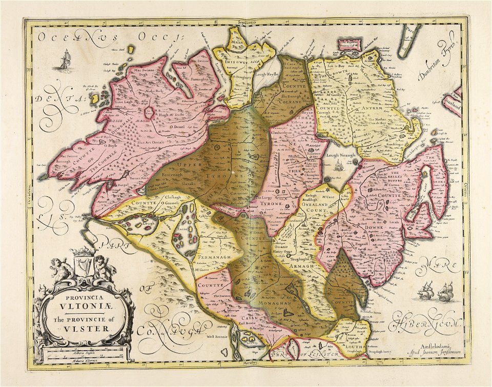
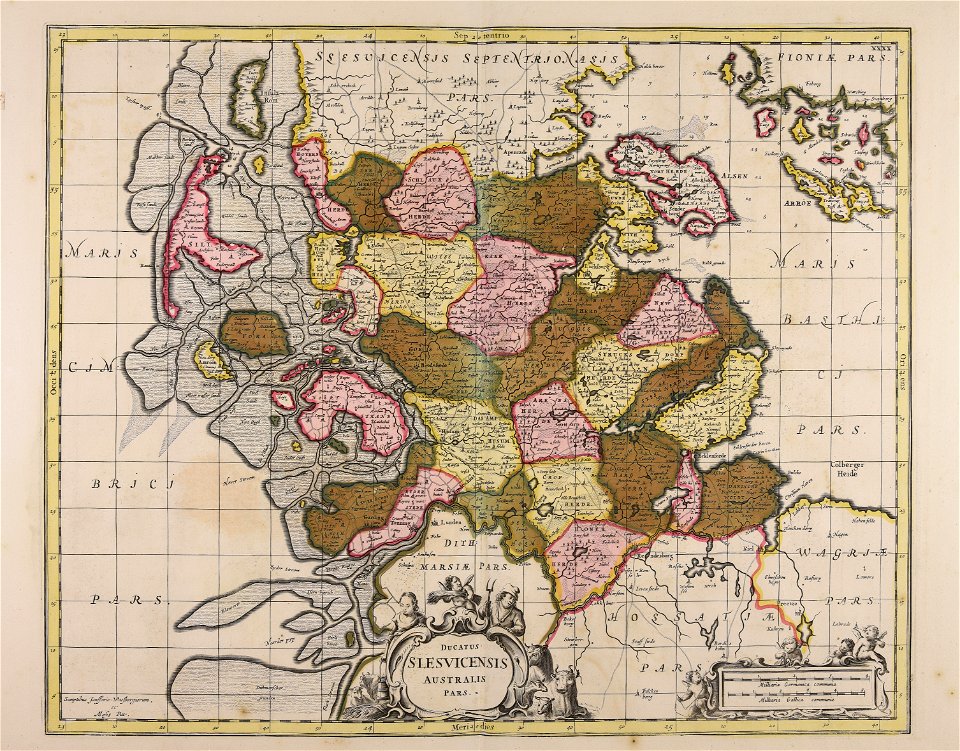
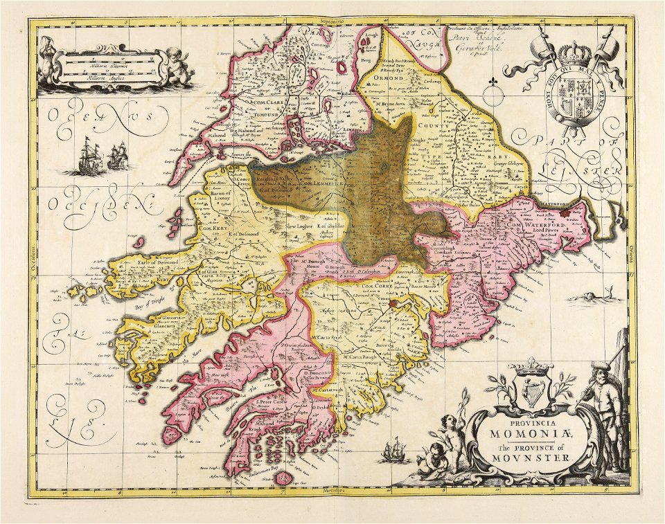
ulster
atlantis magni tomus quintus (biblioteca comunale di trento)
maps made in the 17th century
maps made in the 17th century
jan janssonius
maps made in the 17th century
jan janssonius
maps made in the 17th century
gerard valck
maps made in the 17th century
gerard valck
maps made in the 17th century
maps by nicolaes visscher i
maps made in the 17th century
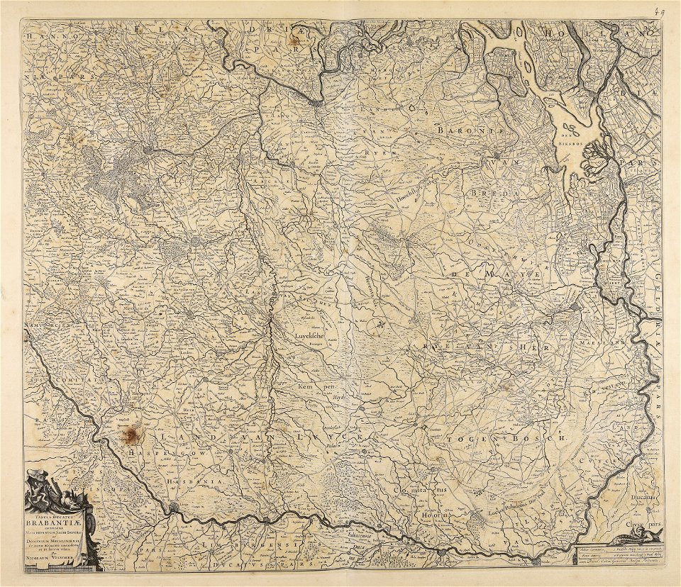
old maps of gelderland
maps made in the 17th century
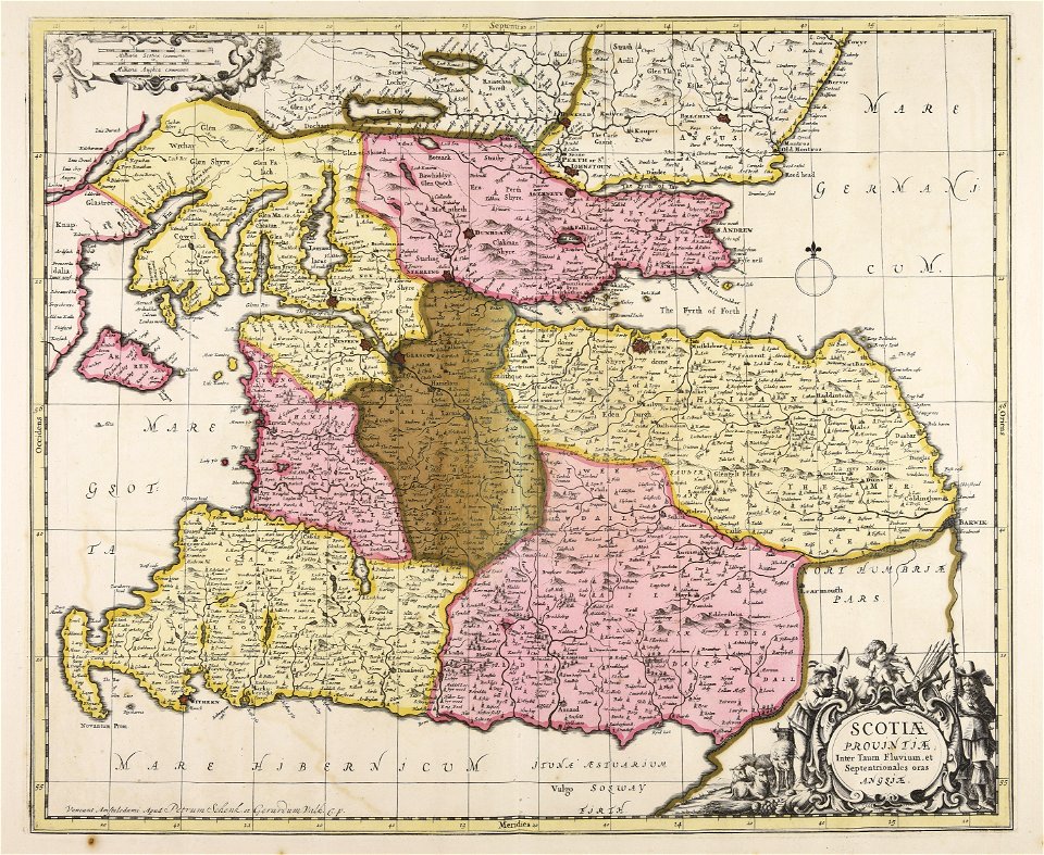
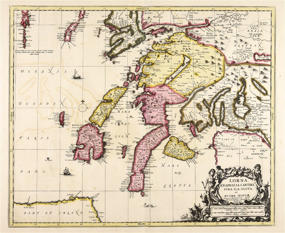
lochaber
maps made in the 17th century
gerard valck
maps made in the 17th century
gerard valck
maps made in the 17th century
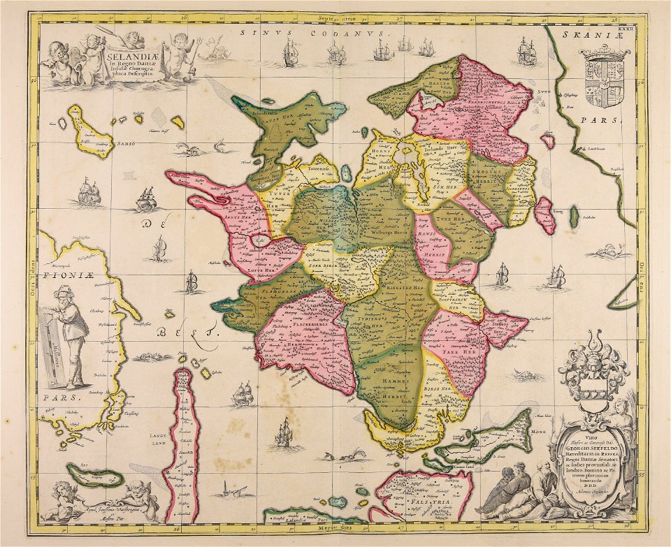
netherlands
maps made in the 17th century
gerard valck
maps made in the 17th century
gerard valck
maps made in the 17th century
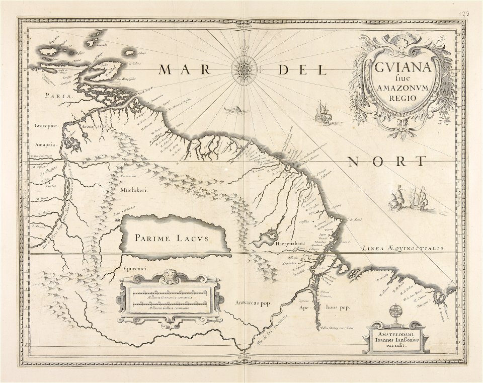
guiana
gerard valck
syria
maps made in the 17th century
gerard valck
maps made in the 17th century
gerard valck
maps made in the 17th century
gerard valck
maps made in the 17th century
gerard valck
maps made in the 17th century
jan janssonius
maps made in the 17th century
jan janssonius
atlantis magni tomus quintus (biblioteca comunale di trento)
maps made in the 17th century
maps made in the 17th century
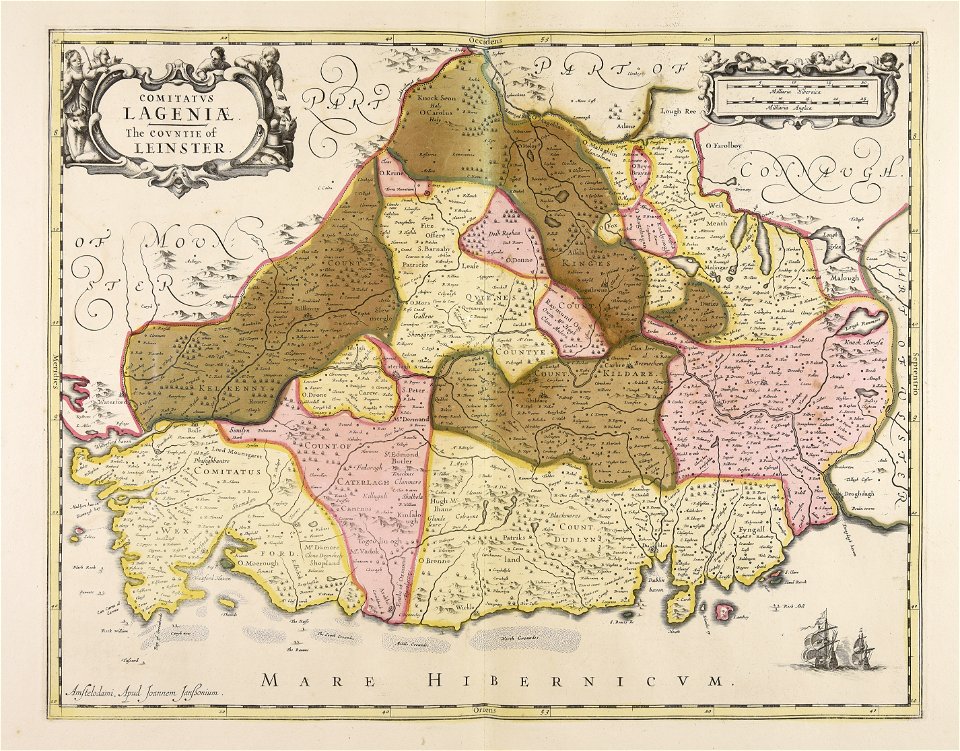
leinster
maps made in the 17th century
jan janssonius
maps made in the 17th century
gerard valck
maps made in the 17th century
gerard valck
maps made in the 17th century
gerard valck
allegories of the four elements
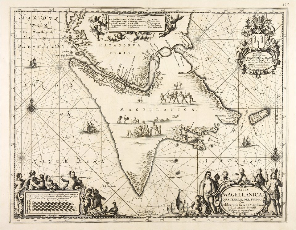
islands of california
maps made in the 17th century
gerard valck
maps made in the 17th century
gerard valck
maps by nicolaes visscher i
claes jansz. visscher (ii)
maps made in the 17th century
gerard valck
maps made in the 17th century
gerard valck
maps made in the 17th century
gerard valck
maps by willem and johannes blaeu
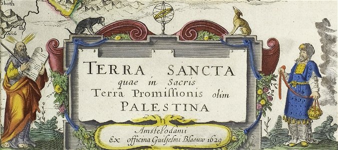
old maps of israel
maps made in the 17th century
jan janssonius
maps made in the 17th century
gerard valck
gerard valck
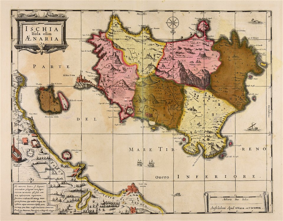
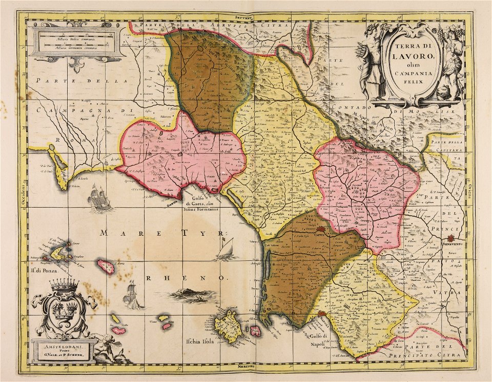
campania
maps made in the 17th century
frederick de wit
maps made in the 17th century
gerard valck
maps made in the 17th century
gerard valck
atlantis magni tomus primus (biblioteca comunale di trento)
maps made in the 17th century
maps made in the 17th century
gerard valck
maps made in the 17th century
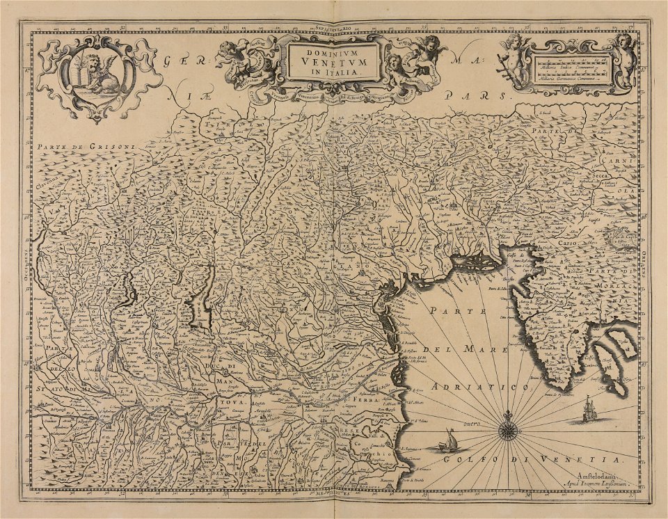
old maps of italy
maps made in the 17th century
cornelis danckerts (i)
maps made in the 17th century
gerard valck
maps made in the 17th century
adam olearius
maps made in the 17th century
gerard valck
maps made in the 17th century
gerard valck
maps made in the 17th century
jan janssonius
maps made in the 17th century
frederick de wit
atlantis magni tomus primus (biblioteca comunale di trento)
maps made in the 17th century
atlantis magni tomus primus (biblioteca comunale di trento)
maps made in the 17th century
claes jansz. visscher (ii)
17th-century engravings
maps made in the 17th century
jan janssonius
maps made in the 17th century
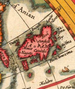
cina
old maps of ireland
gerard valck
maps by nicolas sanson
gerard valck
maps made in the 17th century
gerard valck
maps made in the 17th century
gerard valck
maps made in the 17th century
gerard valck
maps by nicolas sanson
gerard valck
maps made in the 17th century
gerard valck
maps made in the 17th century
gerard valck
maps made in the 17th century
nicolaes visscher ii
maps made in the 17th century
nicolaes visscher ii
maps made in the 17th century
nicolaes visscher ii
maps made in the 17th century
jan janssonius
maps made in the 17th century
nicolaes visscher ii
maps by willem and johannes blaeu
maps made in the 17th century
gerard valck
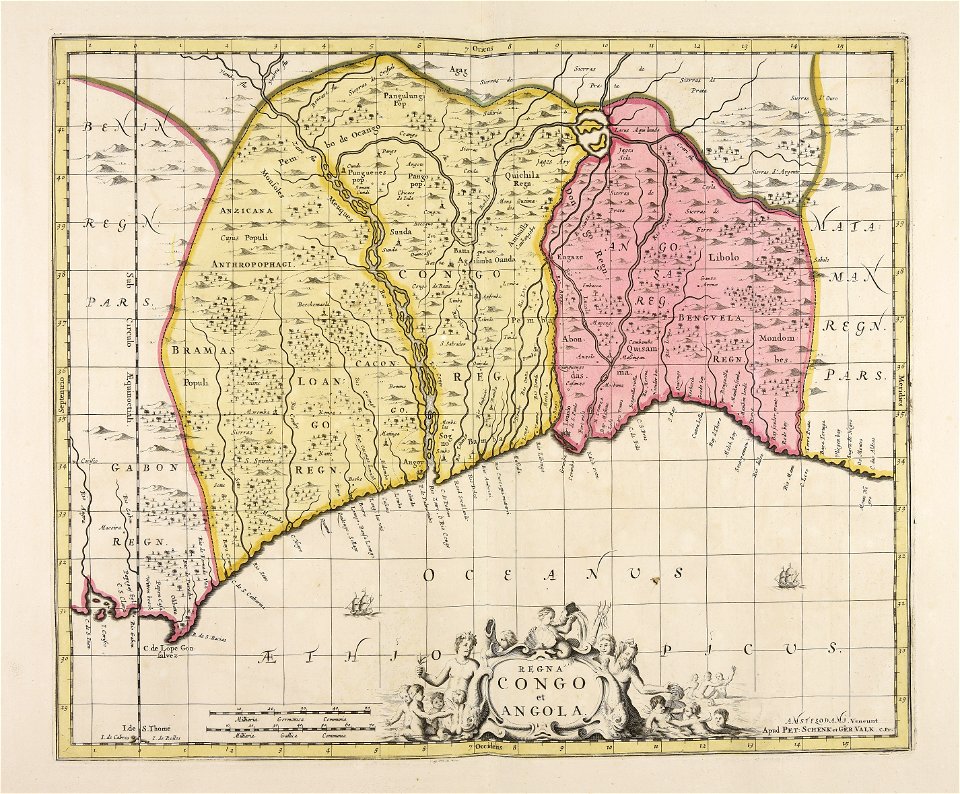
angola
maps made in the 17th century
old maps of gelderland
maps made in the 17th century
gerard valck
gerard valck
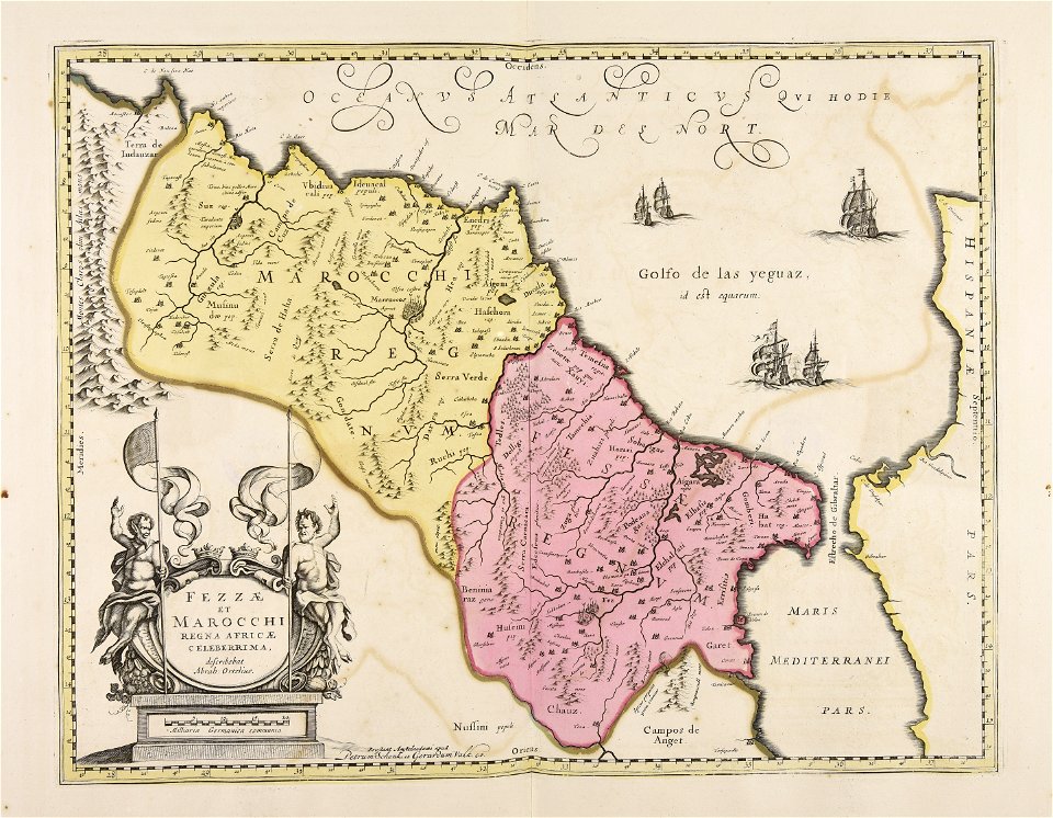
marocco
maps made in the 17th century
nicolaes visscher ii
gerard valck
indonesia
atlantis magni tomus secundus (biblioteca comunale di trento)
maps made in the 17th century
atlantis magni tomus primus (biblioteca comunale di trento)
maps made in the 17th century
atlantis magni tomus primus (biblioteca comunale di trento)
maps made in the 17th century
maps made in the 17th century
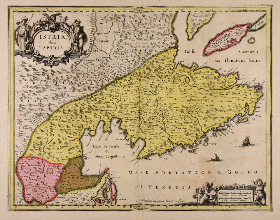
istria
maps by willem and johannes blaeu
maps made in the 17th century
maps made in the 17th century
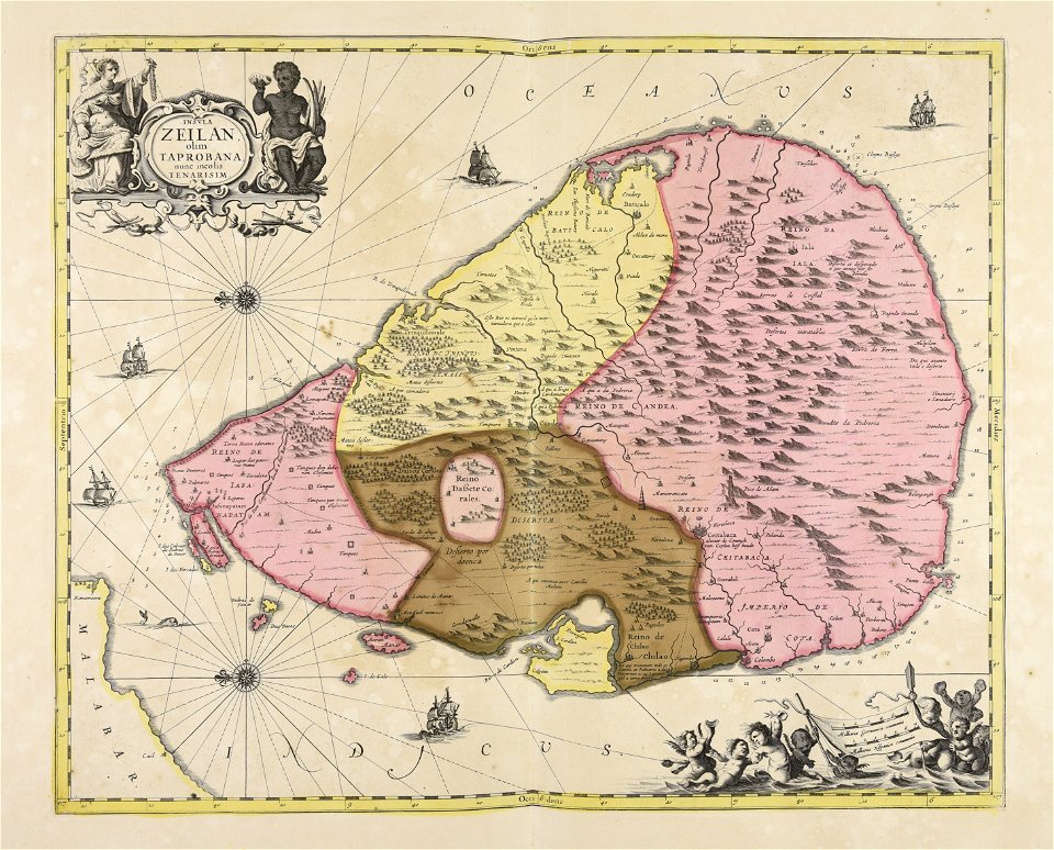
sri lanka
maps made in the 17th century
nicolaes visscher ii
gerard valck
cina
maps made in the 17th century
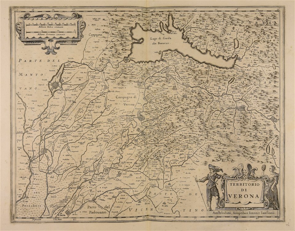
lake garda
maps made in the 17th century
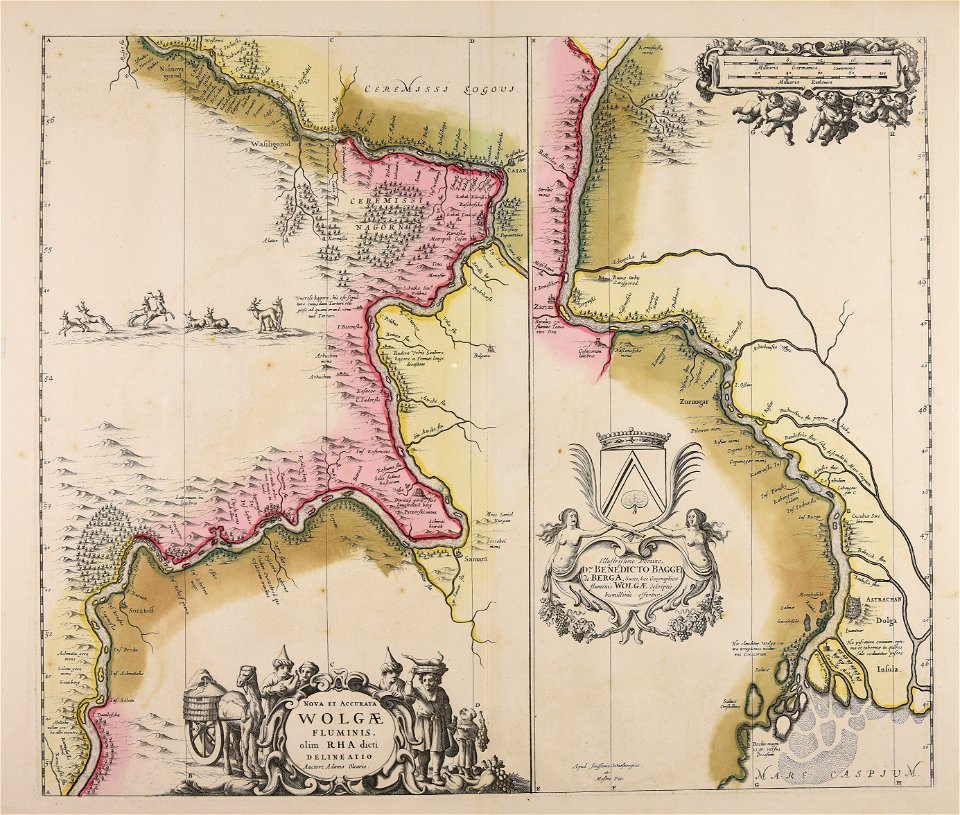
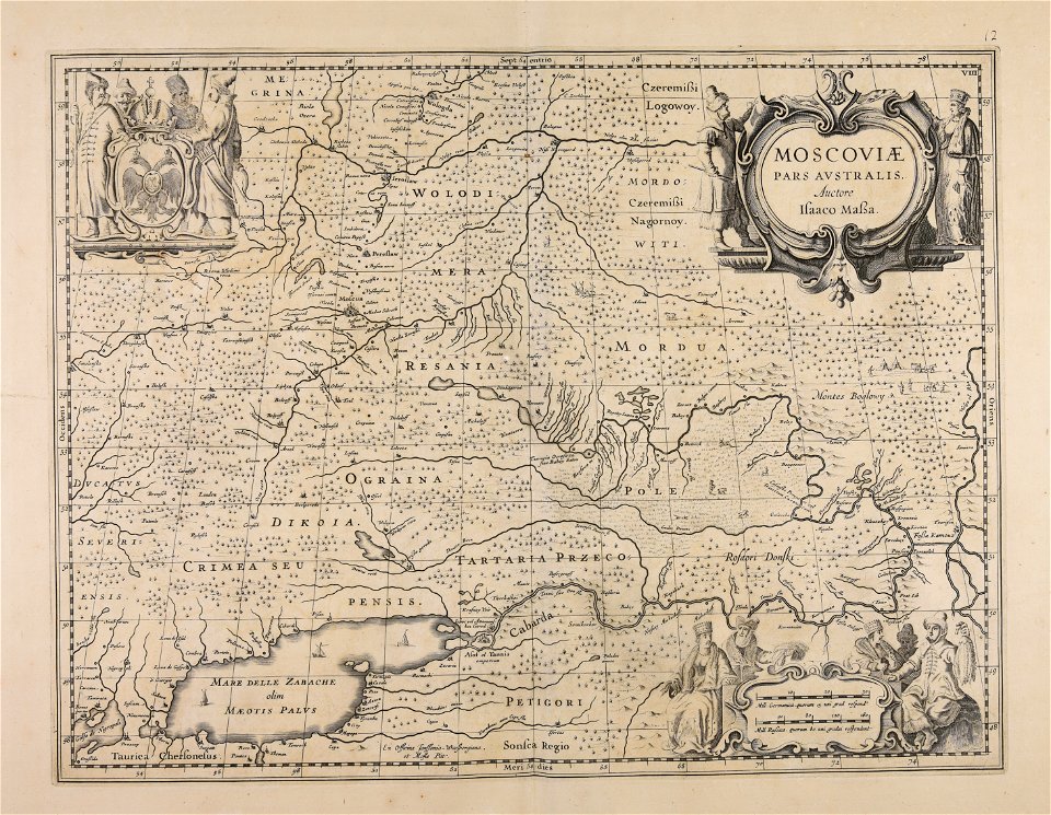
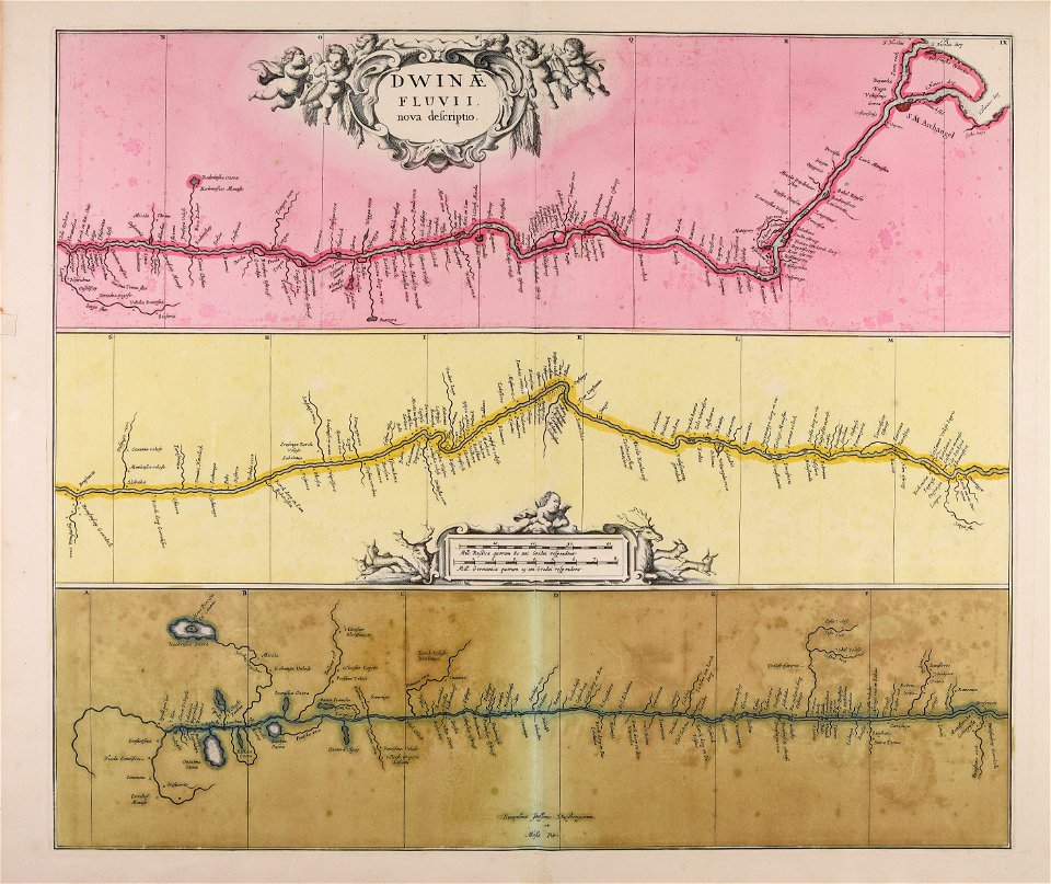
severnaya dvina river
maps made in the 17th century
nicolaes visscher ii
maps made in the 17th century
nicolaes visscher ii
maps made in the 17th century
maps by nicolaes visscher i
atlantis magni tomus quintus (biblioteca comunale di trento)
maps made in the 17th century
atlantis magni tomus tertius (biblioteca comunale di trento)
maps made in the 17th century
maps made in the 17th century
gerard valck
maps made in the 17th century
nicolaes visscher ii
maps made in the 17th century
cornelis danckerts (i)
maps made in the 17th century
nicolaes visscher ii
maps made in the 17th century
nicolaes visscher ii
atlantis magni tomus quartus (biblioteca comunale di trento)
maps made in the 17th century
301 - 400 of 593
Next page
/ 6